The delhi metro map is one of the most essential tools for navigating India capital city efficiently. Whether you are a daily commuter, student, or tourist, understanding the Delhi metro map helps you plan faster routes, reduce travel time, and switch between metro lines easily.
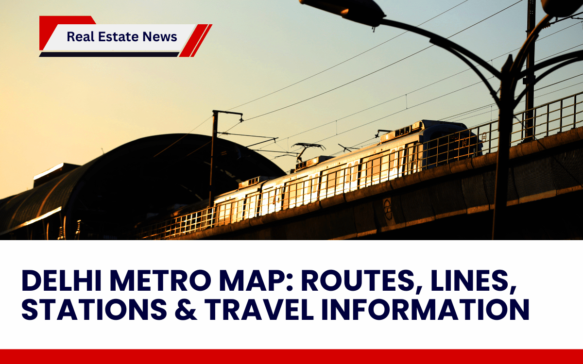
Delhi Metro has transformed urban transportation by connecting residential areas, business districts, and neighboring cities through a modern rail network. Today, it serves millions of passengers every day and continues expanding to improve connectivity across Delhi NCR.
What is the Delhi Metro Map?
The delhi metro map is a visual representation of all metro corridors, stations, interchange points, and operational routes within the Delhi Metro Rail Corporation (DMRC) network.
It allows passengers to:
- Identify metro lines by color
- Locate interchange stations
- Estimate travel distance
- Plan the shortest route
- Understand connectivity between Delhi and NCR regions
The metro network connects major regions including North Delhi, Central Delhi, East Delhi, West Delhi, Noida, Ghaziabad, Gurgaon, and Faridabad.
Delhi Metro Network
Delhi Metro is one of the largest rapid transit systems in India. The network began operations in 2002 and has expanded continuously with new corridors and extensions.
Key Highlights
- Multiple color-coded metro lines
- Hundreds of operational stations across NCR
- High-frequency trains during peak hours
- Seamless interchange connectivity
- Eco-friendly public transport system
The metro system significantly reduces traffic congestion and pollution by encouraging public transport usage.
Understanding the Delhi Metro Map Lines
Each line on the delhi metro map is identified by a specific color for easy navigation.
Major Metro Lines Include:
- Red Line: Connects northwest Delhi to Ghaziabad
- Yellow Line: Links North Delhi to Gurgaon
- Blue Line: Connects Dwarka with Noida & Vaishali
- Pink Line: Forms a large ring corridor
- Magenta Line: Connects West Delhi to South Delhi
- Violet Line: Links Central Delhi to Faridabad
- Airport Express Line: Fast airport connectivity
Interchange stations allow passengers to switch lines without exiting the metro system, making long-distance travel convenient.
Delhi Metro Red Line on the Delhi Metro Map
One of the most important corridors visible on the delhi metro map is the Red Line, which was the first operational metro route in Delhi.
Key Facts About the Red Line
- Connects Rithala to Shaheed Sthal (New Bus Adda)
- Covers approximately 30+ km distance
- Includes nearly 30 stations
- Travel time around 45 minutes end-to-end
- Operational since 2002
The line passes through major interchange stations such as Kashmere Gate, Inderlok, Welcome, and Netaji Subhash Place, improving city-wide connectivity.
Delhi Metro Map Fare Structure
Metro fares are distance-based and designed to remain affordable for daily commuters.
Approximate Fare Range
- Short distance travel: Low fare slab
- Medium distance travel: Moderate fare
- Long-distance routes: Higher fare bracket
Passengers can use:
- Smart cards (discounted fares)
- QR tickets
- Metro mobile apps
Off-peak travel hours often offer discounted pricing, encouraging flexible commuting.
Train Timings and Frequency
The delhi metro map also helps commuters understand operational timings across routes.
General Operating Hours
- First train: Around early morning
- Last train: Late night services
- Peak frequency: Few minutes between trains
- Non-peak frequency: Slightly longer intervals
High-frequency services make metro travel reliable even during rush hours.
Why the Delhi Metro Map is Important for Travelers?
Using the delhi metro map provides several advantages:
- Saves travel planning time
- Helps avoid traffic congestion
- Simplifies route selection
- Identifies fastest interchange routes
- Useful for tourists exploring landmarks
Many commuters rely on the map daily to optimize travel between home, workplace, and educational institutions.
Future Expansion Visible on the Delhi Metro Map
Delhi Metro continues expanding under new development phases, adding new corridors and improving interchange connectivity. Upcoming extensions aim to connect outer regions and reduce dependency on private vehicles.
These expansions will make the Delhi metro map even more comprehensive and accessible for NCR residents.
Tips for Using the Delhi Metro Map Efficiently
- Always check interchange stations before starting your journey
- Use smart cards for faster entry and discounts
- Travel during non-peak hours when possible
- Download a digital metro map for offline access
- Plan last-mile transport options in advance